
Our Aerial
Photography
Skyview
Imaging
Process of
We start with a consultation to understand your goals, then capture high-quality drone images. After careful editing, we deliver polished photos ready for use, showcasing your campground from an impressive aerial view.
Consultation
Start with a discussion to identify key areas to capture and clarify your desired outcome.
Capture
Use drones to take high-resolution images from various angles.
Editing and Enhancement
Refine images by adjusting lighting, color, and contrast for visual appeal.
Key Features
of our Aerial Photography
High-Resolution
Imagery
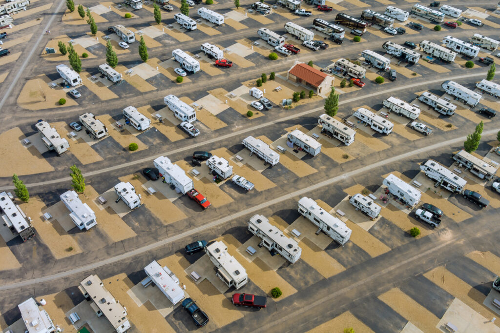
Delivers detailed, high-quality images that highlight the features and layout of large areas, useful for mapping and planning.
Comprehensive
Coverage
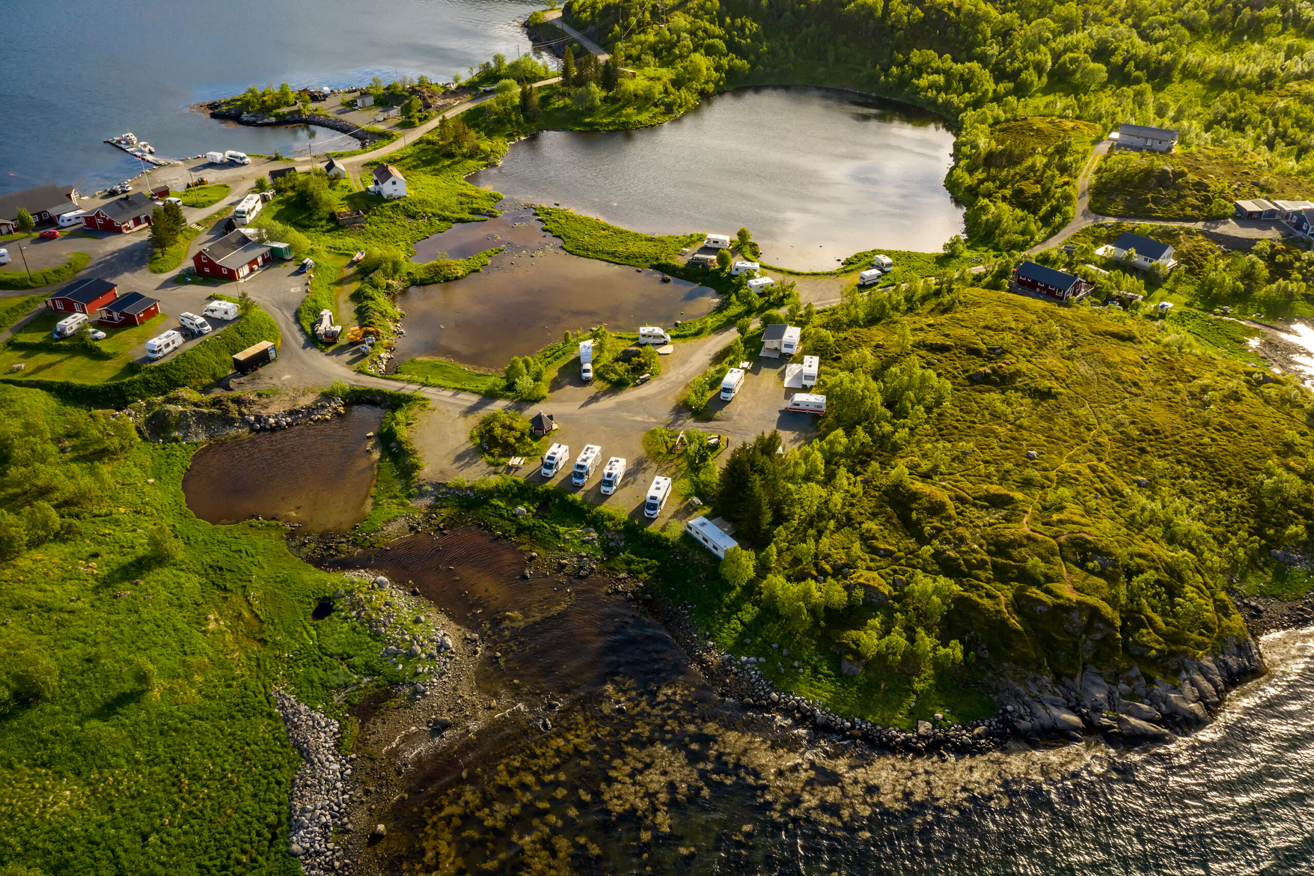
Explain how aerial photography captures every angle of the campground, highlighting key features such as amenities, natural landscapes, and site layouts.
Seasonal & Time-Lapse Views
Why 360° CampView?
We’re proud to have recently helped many clients, from campers to families planning trips. Our goal is to keep offering great service and support for memorable outdoor adventures.
Comprehensive Campground Coverage
User
friendly
experience
trusted by campers nationwide
Our Service
Packages
Basic
$124
- 360° Virtual Tour
- Basic Interactive Map
- Google Street View Integration
Popular
$329
- Extended 360° Virtual Tour
- Customizable Interactive Map
- High-Resolution Photography
- Google Street View Integration
All in one
$525
- Complete 360° Virtual Tour
- Fully Customized Interactive Map
- Comprehensive Photography
- Google Street View Integration
- Ongoing Support
